
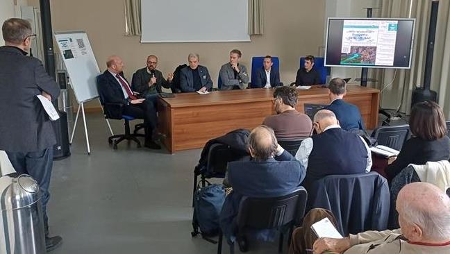
discussion among researchers, institutions and regional stakeholders.
Funded by the Italian Space Agency (ASI) within the I4DP_SCIENCE program, the project aims to integrate satellite data into large-scale flood
modeling, contributing to improve hydraulic risk assessment.
During the meeting:
- the project’s objectives and potential were presented
- the use of advanced satellite data was explored (including Link identifier #identifier__159303-1COSMO-SkyMed and Link identifier #identifier__135638-2PRISMA)
- a roundtable discussion was held with agencies and institutions, fostering dialogue between academia and operational applications
effective and shared solutions.
A Link identifier #identifier__129278-3questionnaire was also launched to collect user feedback.
The RESCUE_SAT model is confirmed as an innovative tool for assessing flood hazard and risk, capable of delivering consistent analyses over
large areas.